Whitsbury Manor House
Introduction
The photograph on this page of Whitsbury Manor House by Mike Faherty as part of the Geograph project.
The Geograph project started in 2005 with the aim of publishing, organising and preserving representative images for every square kilometre of Great Britain, Ireland and the Isle of Man.

There are currently over 7.5m images from over 14,400 individuals and you can help contribute to the project by visiting https://www.geograph.org.uk
Whitsbury Manor House
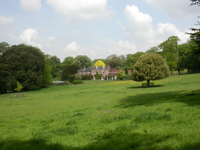
Image: © Mike Faherty Taken: 21 May 2010
Centrepiece of Whitsbury Stud; as seen from the upper path from St. Leonard's Church to the village street.
Images are licensed for reuse under creativecommons.org/licenses/by-sa/2.0
Image Location
Latitude
50.975677
Longitude
-1.821907