Bassaleg School
Introduction
The photograph on this page of Bassaleg School by Jaggery as part of the Geograph project.
The Geograph project started in 2005 with the aim of publishing, organising and preserving representative images for every square kilometre of Great Britain, Ireland and the Isle of Man.

There are currently over 7.5m images from over 14,400 individuals and you can help contribute to the project by visiting https://www.geograph.org.uk
Bassaleg School
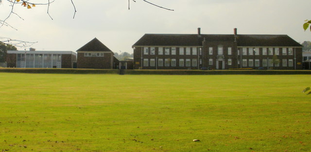
Image: © Jaggery Taken: 19 Sep 2009
Viewed across playing fields from the fence at the eastern edge of the school. The local pronunciation of Bassaleg is similar to "Baze-lig" (rhymes with Daze Gig) or Baze-uh-lig. (uh is the indistinct sound known as a schwa). A visitor asking for directions to "bass-a-leg" is likely to encounter a blank stare, at least momentarily.
Images are licensed for reuse under creativecommons.org/licenses/by-sa/2.0
Image Location
Latitude
51.575397
Longitude
-3.046138