Southdown playing fields, Bath
Introduction
The photograph on this page of Southdown playing fields, Bath by Graham D as part of the Geograph project.
The Geograph project started in 2005 with the aim of publishing, organising and preserving representative images for every square kilometre of Great Britain, Ireland and the Isle of Man.

There are currently over 7.5m images from over 14,400 individuals and you can help contribute to the project by visiting https://www.geograph.org.uk
Southdown playing fields, Bath
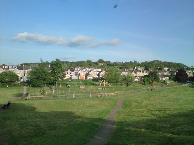
Image: © Graham D Taken: 20 May 2010
Looking Southeast. The path is a public footpath as shown on the OS map, leading to Englishcombe Lane. The path on the left leads to Coronation Avenue.
Images are licensed for reuse under creativecommons.org/licenses/by-sa/2.0
Image Location
Latitude
51.367939
Longitude
-2.387798