River Leen at Maun Avenue
Introduction
The photograph on this page of River Leen at Maun Avenue by John Sutton as part of the Geograph project.
The Geograph project started in 2005 with the aim of publishing, organising and preserving representative images for every square kilometre of Great Britain, Ireland and the Isle of Man.

There are currently over 7.5m images from over 14,400 individuals and you can help contribute to the project by visiting https://www.geograph.org.uk
River Leen at Maun Avenue
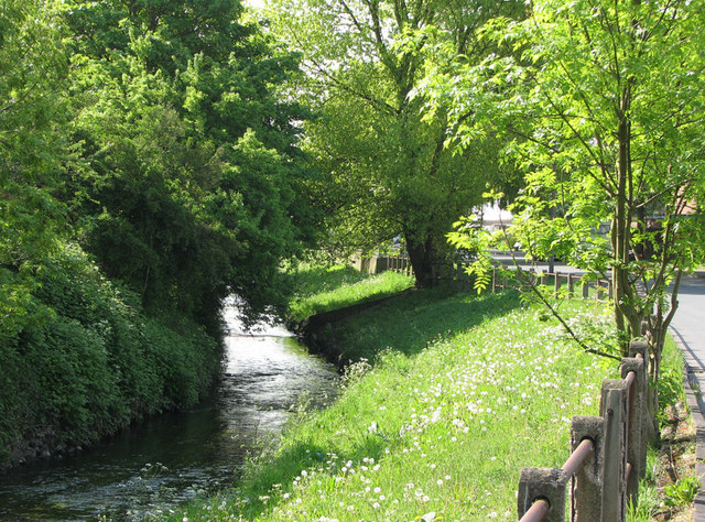
Image: © John Sutton Taken: 19 May 2010
It's hard to imagine that this tranquil spot was until the 1960s next to a colliery. Old photos of Radford Colliery show this concrete-post-and-iron-rail fence. Maun Avenue and the other streets of houses to the right were built in the 1970s on colliery and railway land. In the 18th century, though, this was Radford Grove http://www.nottshistory.org.uk/whatnall1928/radford_folly.htm , a fashionable pleasure garden, and Radford Folly, a stuccoed brick tower, survived in ruins into the 1950s, in a sea of colliery spoil.
Images are licensed for reuse under creativecommons.org/licenses/by-sa/2.0
Image Location
Latitude
52.959773
Longitude
-1.181935