Olivers Battery Road North, Winchester
Introduction
The photograph on this page of Olivers Battery Road North, Winchester by Chris Heaton as part of the Geograph project.
The Geograph project started in 2005 with the aim of publishing, organising and preserving representative images for every square kilometre of Great Britain, Ireland and the Isle of Man.

There are currently over 7.5m images from over 14,400 individuals and you can help contribute to the project by visiting https://www.geograph.org.uk
Olivers Battery Road North, Winchester
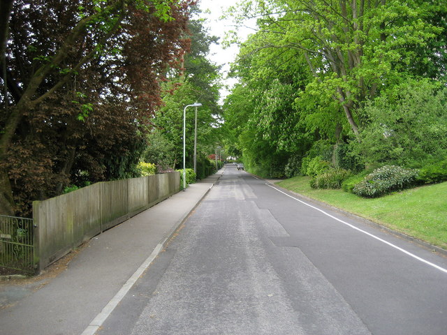
Image: © Chris Heaton Taken: 10 May 2010
This road has been adopted by the Clarendon Way, whose destination is Winchester City Centre. The route however takes a long sweep to the south before following the River Itchen towards the cathedral - an exercise that adds around 2 or 3 miles onto the length of the trail. This accounts for our presence on Olivers Battery Road.
Images are licensed for reuse under creativecommons.org/licenses/by-sa/2.0
Image Location
Latitude
51.054188
Longitude
-1.344788