2010 : A37 heading south on Marchant's Hill
Introduction
The photograph on this page of 2010 : A37 heading south on Marchant's Hill by Maurice Pullin as part of the Geograph project.
The Geograph project started in 2005 with the aim of publishing, organising and preserving representative images for every square kilometre of Great Britain, Ireland and the Isle of Man.

There are currently over 7.5m images from over 14,400 individuals and you can help contribute to the project by visiting https://www.geograph.org.uk
2010 : A37 heading south on Marchant's Hill
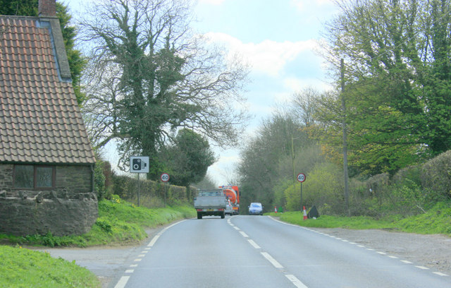
Image: © Maurice Pullin Taken: 20 Apr 2010
Near the top. Shepton Mallet a little over four miles, Gurney Slade just over the top of the hill. The lane foreground left leads to Cockhill Farm.
Images are licensed for reuse under creativecommons.org/licenses/by-sa/2.0
Image Location
Latitude
51.249907
Longitude
-2.538967