2010 : A367 passing St.Olivers, Downside
Introduction
The photograph on this page of 2010 : A367 passing St.Olivers, Downside by Maurice Pullin as part of the Geograph project.
The Geograph project started in 2005 with the aim of publishing, organising and preserving representative images for every square kilometre of Great Britain, Ireland and the Isle of Man.

There are currently over 7.5m images from over 14,400 individuals and you can help contribute to the project by visiting https://www.geograph.org.uk
2010 : A367 passing St.Olivers, Downside
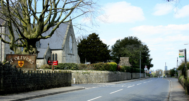
Image: © Maurice Pullin Taken: 20 Apr 2010
Passing through Stratton-on-the-Fosse heading north toward Radstock. "St Oliver’s House is the junior house of Downside School for boys and girls aged ten to thirteen." From: http://www.downside.co.uk/School/boarding_day/st_olivers_house.html
Images are licensed for reuse under creativecommons.org/licenses/by-sa/2.0
Image Location
Latitude
51.256145
Longitude
-2.490461