Lovers Walk
Introduction
The photograph on this page of Lovers Walk by Martin Addison as part of the Geograph project.
The Geograph project started in 2005 with the aim of publishing, organising and preserving representative images for every square kilometre of Great Britain, Ireland and the Isle of Man.

There are currently over 7.5m images from over 14,400 individuals and you can help contribute to the project by visiting https://www.geograph.org.uk
Lovers Walk
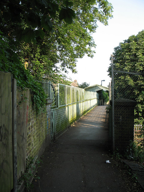
Image: © Martin Addison Taken: 16 Jun 2006
View along Lovers Walk as it crosses over the High Barnet branch of the Northern Line. The high sides and cage are relatively recent additions to the bridge. The original lattice girder construction is just visible in the shaded area (lower left centre).
Images are licensed for reuse under creativecommons.org/licenses/by-sa/2.0
Image Location
Latitude
51.604828
Longitude
-0.193527