Mill Lane Bridge
Introduction
The photograph on this page of Mill Lane Bridge by Bill Boaden as part of the Geograph project.
The Geograph project started in 2005 with the aim of publishing, organising and preserving representative images for every square kilometre of Great Britain, Ireland and the Isle of Man.

There are currently over 7.5m images from over 14,400 individuals and you can help contribute to the project by visiting https://www.geograph.org.uk
Mill Lane Bridge
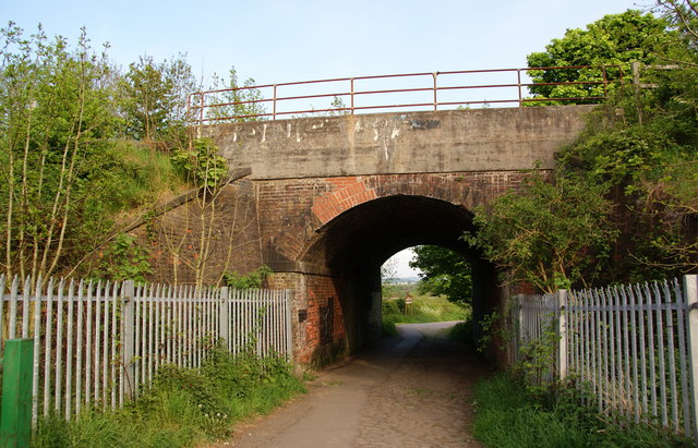
Image: © Bill Boaden Taken: 20 May 2010
This goes under the Stockport to Guide Bridge railway line. Just through the bridge is a sign announcing the Reddish Vale Local Nature Reserve.
Images are licensed for reuse under creativecommons.org/licenses/by-sa/2.0
Image Location
Latitude
53.442142
Longitude
-2.146292