Re-aligned road at Portsmouth, Todmorden
Introduction
The photograph on this page of Re-aligned road at Portsmouth, Todmorden by Humphrey Bolton as part of the Geograph project.
The Geograph project started in 2005 with the aim of publishing, organising and preserving representative images for every square kilometre of Great Britain, Ireland and the Isle of Man.

There are currently over 7.5m images from over 14,400 individuals and you can help contribute to the project by visiting https://www.geograph.org.uk
Re-aligned road at Portsmouth, Todmorden
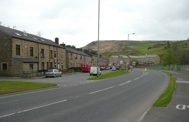
Image: © Humphrey Bolton Taken: 6 May 2010
Instead of going close to the terrace of houses, Burnley Road now sweeps past in a long curve, leaving the old road for access to the houses.
Images are licensed for reuse under creativecommons.org/licenses/by-sa/2.0
Image Location
Latitude
53.731197
Longitude
-2.153056