Down the lane nr Lostwithiel
Introduction
The photograph on this page of Down the lane nr Lostwithiel by roger geach as part of the Geograph project.
The Geograph project started in 2005 with the aim of publishing, organising and preserving representative images for every square kilometre of Great Britain, Ireland and the Isle of Man.

There are currently over 7.5m images from over 14,400 individuals and you can help contribute to the project by visiting https://www.geograph.org.uk
Down the lane nr Lostwithiel
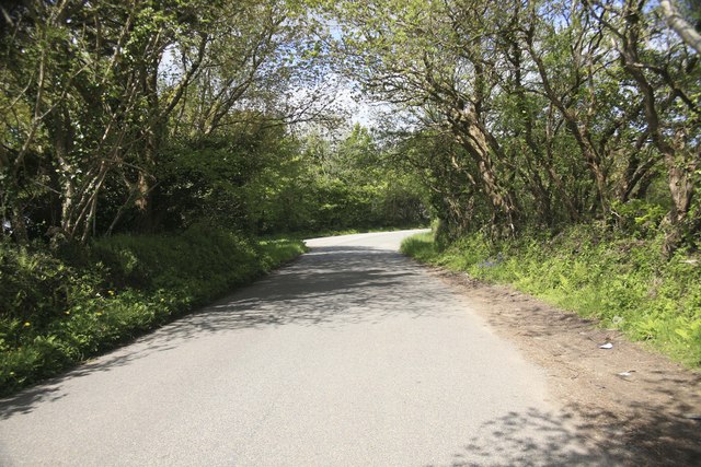
Image: © roger geach Taken: 17 May 2010
There is a sawmills on the left and this rural road leads onto the main Liskeard to Lostwithiel road not far around the corner on the right. Note the bluebells are out
Images are licensed for reuse under creativecommons.org/licenses/by-sa/2.0
Image Location
Latitude
50.407414
Longitude
-4.649652