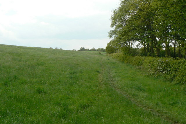
Site of tramroad
Introduction
The photograph on this page of Site of tramroad by Alan Murray-Rust as part of the Geograph project.
The Geograph project started in 2005 with the aim of publishing, organising and preserving representative images for every square kilometre of Great Britain, Ireland and the Isle of Man.
There are currently over 7.5m images from over 14,400 individuals and you can help contribute to the project by visiting https://www.geograph.org.uk

Image: © Alan Murray-Rust Taken: 18 May 2010
This is the line of the tramroad which connected the ironstone mines on Glasshouse Common - the area covered by trees in the distance - with the Chesterfield Canal. For most people this is simply now a public footpath, but careful attention to the ground formation shows that clearly that cut and fill took place to ensure an even gradient as far as possible.

