Southwaite service area
Introduction
The photograph on this page of Southwaite service area by Ann Cook as part of the Geograph project.
The Geograph project started in 2005 with the aim of publishing, organising and preserving representative images for every square kilometre of Great Britain, Ireland and the Isle of Man.

There are currently over 7.5m images from over 14,400 individuals and you can help contribute to the project by visiting https://www.geograph.org.uk
Southwaite service area
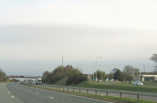
Image: © Ann Cook Taken: 17 Apr 2010
This is the southbound area of Southwaite services as seen from the northbound carriageway. The bridge linking the two service areas is ahead, over the motorway.
Images are licensed for reuse under creativecommons.org/licenses/by-sa/2.0
Image Location
Latitude
54.798741
Longitude
-2.869319