The A179 road near Hart Station
Introduction
The photograph on this page of The A179 road near Hart Station by Philip Barker as part of the Geograph project.
The Geograph project started in 2005 with the aim of publishing, organising and preserving representative images for every square kilometre of Great Britain, Ireland and the Isle of Man.

There are currently over 7.5m images from over 14,400 individuals and you can help contribute to the project by visiting https://www.geograph.org.uk
The A179 road near Hart Station
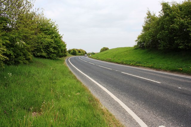
Image: © Philip Barker Taken: 19 May 2010
This photograph shows a view of the A179 (Hart Road) as it passes through the south-eastern corner of the grid-square. The picture was taken looking in an east-north-easterly direction towards North Sands.
Images are licensed for reuse under creativecommons.org/licenses/by-sa/2.0
Image Location
Latitude
54.708282
Longitude
-1.257648