Scourie
Introduction
The photograph on this page of Scourie by Richard Webb as part of the Geograph project.
The Geograph project started in 2005 with the aim of publishing, organising and preserving representative images for every square kilometre of Great Britain, Ireland and the Isle of Man.

There are currently over 7.5m images from over 14,400 individuals and you can help contribute to the project by visiting https://www.geograph.org.uk
Scourie
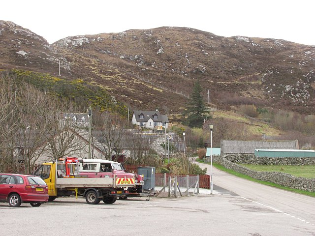
Image: © Richard Webb Taken: 6 Apr 2010
View along a minor road which makes a loop with the main road. As soon as you leave the village the heather and rock starts again. Scourie is built on a pocket of fertile limestone terrain.
Images are licensed for reuse under creativecommons.org/licenses/by-sa/2.0
Image Location


Leaflet Map data © OpenStreetMap
Latitude
58.35042
Longitude
-5.150072