Housing above Porthtowan
Introduction
The photograph on this page of Housing above Porthtowan by Tony Atkin as part of the Geograph project.
The Geograph project started in 2005 with the aim of publishing, organising and preserving representative images for every square kilometre of Great Britain, Ireland and the Isle of Man.

There are currently over 7.5m images from over 14,400 individuals and you can help contribute to the project by visiting https://www.geograph.org.uk
Housing above Porthtowan
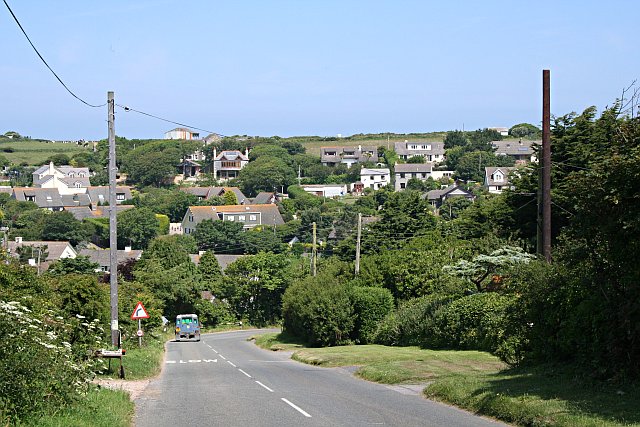
Image: © Tony Atkin Taken: 15 Jun 2006
This loose cluster of houses has developed around the head of a steep coombe which runs down to the main valley at Porthtowan.
Images are licensed for reuse under creativecommons.org/licenses/by-sa/2.0
Image Location
Latitude
50.280354
Longitude
-5.243702