The Chapel on the Hill
Introduction
The photograph on this page of The Chapel on the Hill by Tony Atkin as part of the Geograph project.
The Geograph project started in 2005 with the aim of publishing, organising and preserving representative images for every square kilometre of Great Britain, Ireland and the Isle of Man.

There are currently over 7.5m images from over 14,400 individuals and you can help contribute to the project by visiting https://www.geograph.org.uk
The Chapel on the Hill
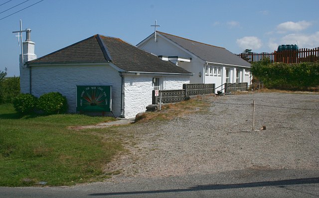
Image: © Tony Atkin Taken: 15 Jun 2006
As the name suggests, Porthtowan's active methodist church is situated on the plateau land at the head of a steep valley to the southwest of the village and high above it.
Images are licensed for reuse under creativecommons.org/licenses/by-sa/2.0
Image Location
Latitude
50.277738
Longitude
-5.240716