Kings Road
Introduction
The photograph on this page of Kings Road by Gerald England as part of the Geograph project.
The Geograph project started in 2005 with the aim of publishing, organising and preserving representative images for every square kilometre of Great Britain, Ireland and the Isle of Man.

There are currently over 7.5m images from over 14,400 individuals and you can help contribute to the project by visiting https://www.geograph.org.uk
Kings Road
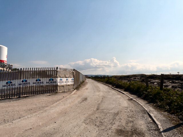
Image: © Gerald England Taken: 18 May 2010
On the left is former reclaimed land Image being used to create a new housing estate to be called "The Grange". The land on the right was formerly part of Audenshaw reservoir before a portion was drained for the construction of the M60 motorway.
Images are licensed for reuse under creativecommons.org/licenses/by-sa/2.0
Image Location
Latitude
53.470554
Longitude
-2.13946