West Drumrae Farm
Introduction
The photograph on this page of West Drumrae Farm by Andy Farrington as part of the Geograph project.
The Geograph project started in 2005 with the aim of publishing, organising and preserving representative images for every square kilometre of Great Britain, Ireland and the Isle of Man.

There are currently over 7.5m images from over 14,400 individuals and you can help contribute to the project by visiting https://www.geograph.org.uk
West Drumrae Farm
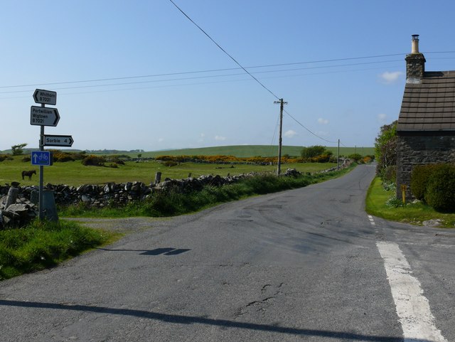
Image: © Andy Farrington Taken: 18 May 2010
Small but important T Junction, connecting several roads in the Machars leading to Whithorn and Isle of Whithorn; Sorbie, Kirkinner and Wigtown; Port William.
Images are licensed for reuse under creativecommons.org/licenses/by-sa/2.0
Image Location


Leaflet Map data © OpenStreetMap
Latitude
54.752466
Longitude
-4.494807