Otterford from the north
Introduction
The photograph on this page of Otterford from the north by Derek Harper as part of the Geograph project.
The Geograph project started in 2005 with the aim of publishing, organising and preserving representative images for every square kilometre of Great Britain, Ireland and the Isle of Man.

There are currently over 7.5m images from over 14,400 individuals and you can help contribute to the project by visiting https://www.geograph.org.uk
Otterford from the north
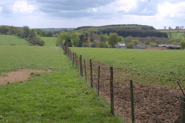
Image: © Derek Harper Taken: 15 May 2010
The hamlet, simply a church with adjoining large farm, lies in the shallow upper valley of the River Otter on the Blackdown Hills plateau. A footpath, T20/11, follows the other side of the fence into the churchyard; the tower of Image, in the centre, is largely obscured by a tree. In the background are the plantations around Otterford Lakes.
Images are licensed for reuse under creativecommons.org/licenses/by-sa/2.0
Image Location
Latitude
50.922891
Longitude
-3.108262