Clarendon Way descending towards King's Somborne
Introduction
The photograph on this page of Clarendon Way descending towards King's Somborne by Chris Heaton as part of the Geograph project.
The Geograph project started in 2005 with the aim of publishing, organising and preserving representative images for every square kilometre of Great Britain, Ireland and the Isle of Man.

There are currently over 7.5m images from over 14,400 individuals and you can help contribute to the project by visiting https://www.geograph.org.uk
Clarendon Way descending towards King's Somborne
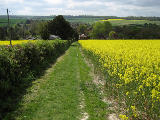
Image: © Chris Heaton Taken: 10 May 2010
A special track has been created in a field so Clarendon Way walkers avoid using the parallel busy road from Stockbridge.
Images are licensed for reuse under creativecommons.org/licenses/by-sa/2.0
Image Location


Leaflet Map data © OpenStreetMap
Latitude
51.080978
Longitude
-1.487596