Barn near Muker
Introduction
The photograph on this page of Barn near Muker by Karl and Ali as part of the Geograph project.
The Geograph project started in 2005 with the aim of publishing, organising and preserving representative images for every square kilometre of Great Britain, Ireland and the Isle of Man.

There are currently over 7.5m images from over 14,400 individuals and you can help contribute to the project by visiting https://www.geograph.org.uk
Barn near Muker
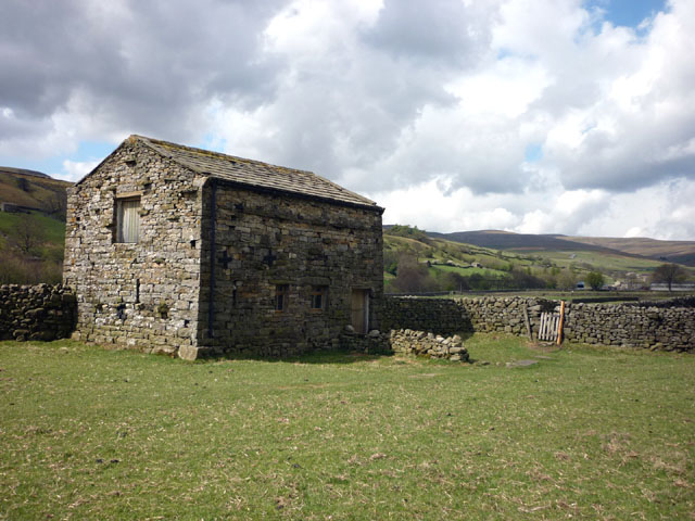
Image: © Karl and Ali Taken: 11 May 2010
A typical Swaledale barn passed en route between Usha Gap and Muker.
Images are licensed for reuse under creativecommons.org/licenses/by-sa/2.0
Image Location
Latitude
54.376875
Longitude
-2.144059