Stream below Mill Ennis
Introduction
The photograph on this page of Stream below Mill Ennis by Derek Harper as part of the Geograph project.
The Geograph project started in 2005 with the aim of publishing, organising and preserving representative images for every square kilometre of Great Britain, Ireland and the Isle of Man.

There are currently over 7.5m images from over 14,400 individuals and you can help contribute to the project by visiting https://www.geograph.org.uk
Stream below Mill Ennis
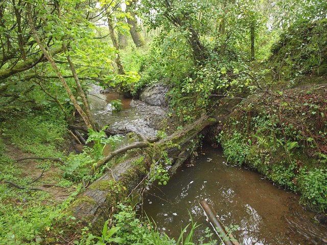
Image: © Derek Harper Taken: 14 May 2010
See Image; this was where I managed to cross the stream, using the fallen tree, to regain the official line of footpath 417/6/1 as shown on the map.
Images are licensed for reuse under creativecommons.org/licenses/by-sa/2.0
Image Location
Latitude
50.387554
Longitude
-4.958356