North Willingham - The A631
Introduction
The photograph on this page of North Willingham - The A631 by David Wright as part of the Geograph project.
The Geograph project started in 2005 with the aim of publishing, organising and preserving representative images for every square kilometre of Great Britain, Ireland and the Isle of Man.

There are currently over 7.5m images from over 14,400 individuals and you can help contribute to the project by visiting https://www.geograph.org.uk
North Willingham - The A631
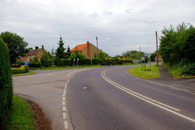
Image: © David Wright Taken: 14 Jun 2006
The village is bisected by the busy A631 road. The turning to the left goes to Sixhills and Hainton.
Images are licensed for reuse under creativecommons.org/licenses/by-sa/2.0
Image Location
Latitude
53.378803
Longitude
-0.256139