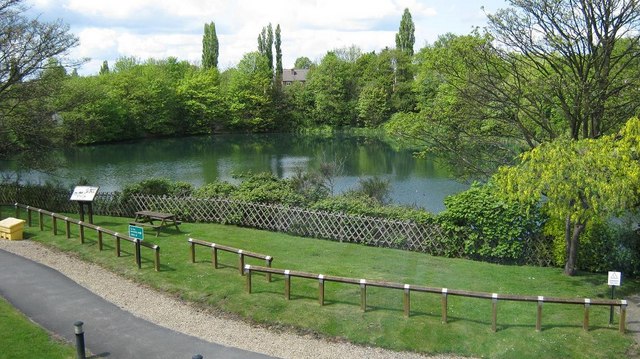
Bayleys Pool, Toll End Road, Tipton
Introduction
The photograph on this page of Bayleys Pool, Toll End Road, Tipton by Michael Westley as part of the Geograph project.
The Geograph project started in 2005 with the aim of publishing, organising and preserving representative images for every square kilometre of Great Britain, Ireland and the Isle of Man.
There are currently over 7.5m images from over 14,400 individuals and you can help contribute to the project by visiting https://www.geograph.org.uk

Image: © Michael Westley Taken: 17 May 2010
Landscaped border and Bayleys Pool beyond, in grounds of EON offices / site. Bayleys Pool is around 1.3 hectares in size, roughly circular in shape, steep sided and more than 6 metres at its deepest point. The pool is over 70 years old and was formed from and old marl pit. It is surrounded by a narrow, intermittent fringe of scrub and more than 50% of the pool is shaded. Bayleys Pool, once a quarry, was formerly dug for brick clay supplying the adjacent Crown Brick Works. The clays were part of the Etruria Formation of Carboniferous age. Image]

