Boating through Birmingham
Introduction
The photograph on this page of Boating through Birmingham by Stephen McKay as part of the Geograph project.
The Geograph project started in 2005 with the aim of publishing, organising and preserving representative images for every square kilometre of Great Britain, Ireland and the Isle of Man.

There are currently over 7.5m images from over 14,400 individuals and you can help contribute to the project by visiting https://www.geograph.org.uk
Boating through Birmingham
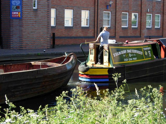
Image: © Stephen McKay Taken: 11 Jun 2006
A traditional narrowboat tows the shell of another towards the top of the Farmer's Bridge lock flight.
Images are licensed for reuse under creativecommons.org/licenses/by-sa/2.0
Image Location


Leaflet Map data © OpenStreetMap
Latitude
52.479993
Longitude
-1.913084