Information centre, Lancaster Road
Introduction
The photograph on this page of Information centre, Lancaster Road by Bill Boaden as part of the Geograph project.
The Geograph project started in 2005 with the aim of publishing, organising and preserving representative images for every square kilometre of Great Britain, Ireland and the Isle of Man.

There are currently over 7.5m images from over 14,400 individuals and you can help contribute to the project by visiting https://www.geograph.org.uk
Information centre, Lancaster Road
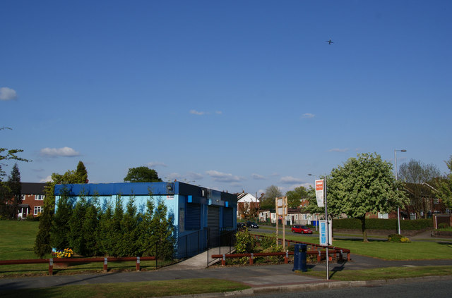
Image: © Bill Boaden Taken: 17 May 2010
This centre is run by Irwell Vale Housing who are the successors to Manchester City Council in managing the local housing. The Manchester connection is reflected in Mancunian Road which can be seen behind. In the sky, you can see this area is under the flight path to Manchester Airport (the latest ash cloud must have cleared).
Images are licensed for reuse under creativecommons.org/licenses/by-sa/2.0
Image Location
Latitude
53.443264
Longitude
-2.105045