Looking towards East Soar Farm
Introduction
The photograph on this page of Looking towards East Soar Farm by Robin Drayton as part of the Geograph project.
The Geograph project started in 2005 with the aim of publishing, organising and preserving representative images for every square kilometre of Great Britain, Ireland and the Isle of Man.

There are currently over 7.5m images from over 14,400 individuals and you can help contribute to the project by visiting https://www.geograph.org.uk
Looking towards East Soar Farm
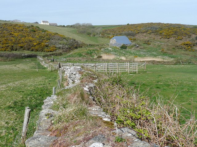
Image: © Robin Drayton Taken: 27 Apr 2010
East Soar farm, on the horizon, was acquired by the National Trust in 1935. The traditional field patterns and stone walls are being restored.
Images are licensed for reuse under creativecommons.org/licenses/by-sa/2.0
Image Location


Leaflet Map data © OpenStreetMap
Latitude
50.217519
Longitude
-3.794651