Public path, Killyleagh (1)
Introduction
The photograph on this page of Public path, Killyleagh (1) by Albert Bridge as part of the Geograph project.
The Geograph project started in 2005 with the aim of publishing, organising and preserving representative images for every square kilometre of Great Britain, Ireland and the Isle of Man.

There are currently over 7.5m images from over 14,400 individuals and you can help contribute to the project by visiting https://www.geograph.org.uk
Public path, Killyleagh (1)
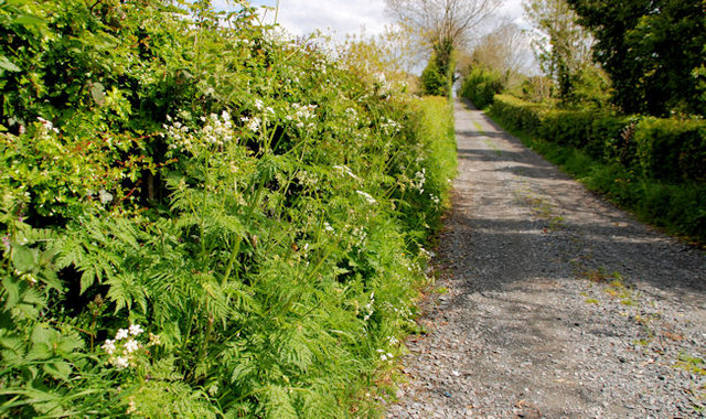
Image: © Albert Bridge Taken: 17 May 2010
A short path, running from the Cross Street, to the shore of Strangford Lough at Holm Bay. Continue to Image Image shows the same path on a wet day in March 2012.
Images are licensed for reuse under creativecommons.org/licenses/by-sa/2.0
Image Location
Latitude
54.404594
Longitude
-5.645918