Foxhole Lanes
Introduction
The photograph on this page of Foxhole Lanes by David Anstiss as part of the Geograph project.
The Geograph project started in 2005 with the aim of publishing, organising and preserving representative images for every square kilometre of Great Britain, Ireland and the Isle of Man.

There are currently over 7.5m images from over 14,400 individuals and you can help contribute to the project by visiting https://www.geograph.org.uk
Foxhole Lanes
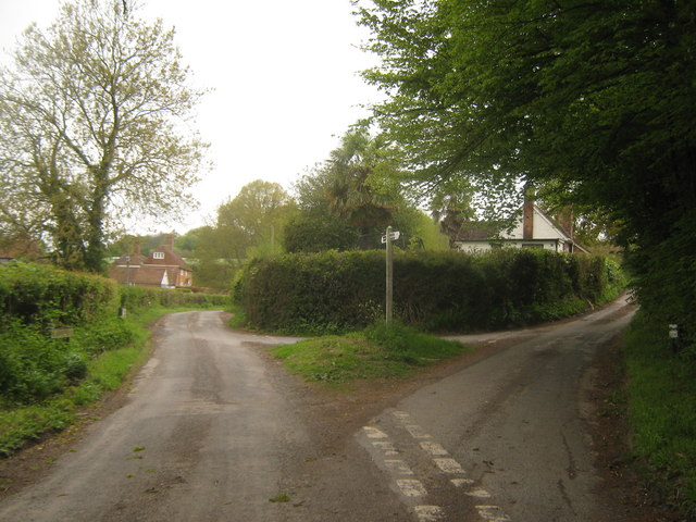
Image: © David Anstiss Taken: 9 May 2010
Hinksden Road from Coldhouse Road divides here. Foxhole Lane leads left towards the A268 Rye Road (via Field Green). Foxhole Lane leads right towards the A268 Rye Road (via Four Throws).
Images are licensed for reuse under creativecommons.org/licenses/by-sa/2.0
Image Location
Latitude
51.046603
Longitude
0.543401