Crossroads at Harriot's Hayes
Introduction
The photograph on this page of Crossroads at Harriot's Hayes by Richard Law as part of the Geograph project.
The Geograph project started in 2005 with the aim of publishing, organising and preserving representative images for every square kilometre of Great Britain, Ireland and the Isle of Man.

There are currently over 7.5m images from over 14,400 individuals and you can help contribute to the project by visiting https://www.geograph.org.uk
Crossroads at Harriot's Hayes
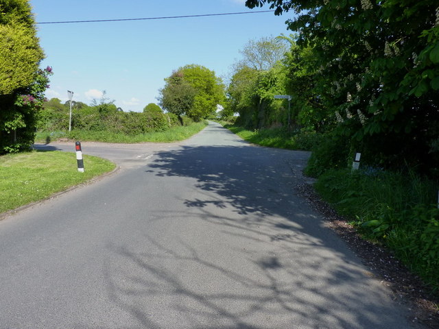
Image: © Richard Law Taken: 16 May 2010
County Lane (unsurprisingly forming the boundary between Shropshire to the west, and Staffordshire to the east) crosses the lane from Harriot's Hayes to Codsall Wood
Images are licensed for reuse under creativecommons.org/licenses/by-sa/2.0
Image Location


Leaflet Map data © OpenStreetMap
Latitude
52.644037
Longitude
-2.234354