Clarendon Way beside Noad's Copse
Introduction
The photograph on this page of Clarendon Way beside Noad's Copse by Chris Heaton as part of the Geograph project.
The Geograph project started in 2005 with the aim of publishing, organising and preserving representative images for every square kilometre of Great Britain, Ireland and the Isle of Man.

There are currently over 7.5m images from over 14,400 individuals and you can help contribute to the project by visiting https://www.geograph.org.uk
Clarendon Way beside Noad's Copse
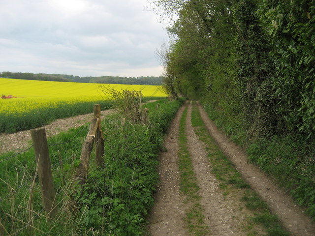
Image: © Chris Heaton Taken: 9 May 2010
Two long distance footpaths have adopted this Roman Road beside Noads Copse - The Clarendon Way that connects Winchester with Salisbury, and the huge 600 mile plus Monarchs Way which follows the supposed course of Charles II escape into exile before he became king.
Images are licensed for reuse under creativecommons.org/licenses/by-sa/2.0
Image Location
Latitude
51.092409
Longitude
-1.63426