The Causeway, Middle Winterslow
Introduction
The photograph on this page of The Causeway, Middle Winterslow by Chris Heaton as part of the Geograph project.
The Geograph project started in 2005 with the aim of publishing, organising and preserving representative images for every square kilometre of Great Britain, Ireland and the Isle of Man.

There are currently over 7.5m images from over 14,400 individuals and you can help contribute to the project by visiting https://www.geograph.org.uk
The Causeway, Middle Winterslow
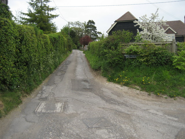
Image: © Chris Heaton Taken: 9 May 2010
This is part of a Roman Road, now adopted by the Clarendon Way - they have one thing in common, as they both link Salisbury to Winchester.
Images are licensed for reuse under creativecommons.org/licenses/by-sa/2.0
Image Location
Latitude
51.096166
Longitude
-1.65765