Valleys below Frogmore Farm
Introduction
The photograph on this page of Valleys below Frogmore Farm by Derek Harper as part of the Geograph project.
The Geograph project started in 2005 with the aim of publishing, organising and preserving representative images for every square kilometre of Great Britain, Ireland and the Isle of Man.

There are currently over 7.5m images from over 14,400 individuals and you can help contribute to the project by visiting https://www.geograph.org.uk
Valleys below Frogmore Farm
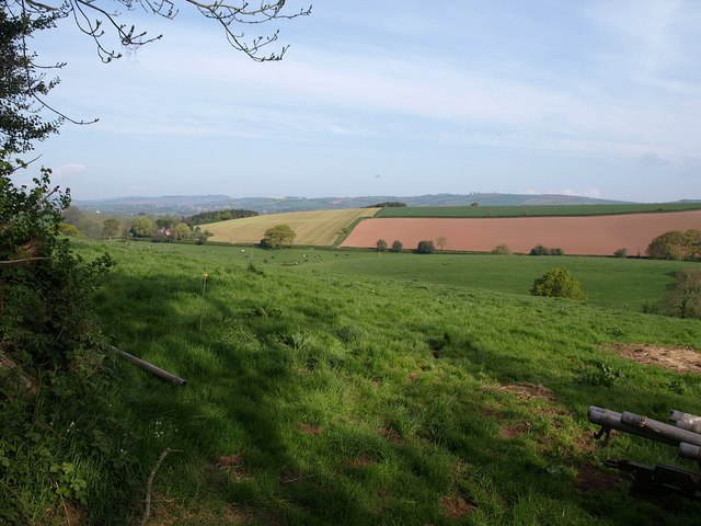
Image: © Derek Harper Taken: 13 May 2010
A view over the gate shown on the right of Image Two small valleys meet; the treetop to the right indicates the nearer one, below Frogmore Farm. Across the further one, scattered trees line the lane down to the B3181 at Beare.
Images are licensed for reuse under creativecommons.org/licenses/by-sa/2.0
Image Location
Latitude
50.798019
Longitude
-3.427417