School sandpit and field
Introduction
The photograph on this page of School sandpit and field by John Goldsmith as part of the Geograph project.
The Geograph project started in 2005 with the aim of publishing, organising and preserving representative images for every square kilometre of Great Britain, Ireland and the Isle of Man.

There are currently over 7.5m images from over 14,400 individuals and you can help contribute to the project by visiting https://www.geograph.org.uk
School sandpit and field
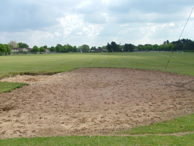
Image: © John Goldsmith Taken: 15 May 2010
A rear view of the Westley Middle School, featuring the field and sandpit. On the left (north) we also see a few houses of the Westley estate. The hedge on the right marks the back of the more up-market properties in Westley Road, some of which were on the receiving end of crashing aircraft when the airfield was operating. Somewhere out here there was the underground bunker of an observation post from WW2 to at least the 1970s but I did not spot any sign of it.
Images are licensed for reuse under creativecommons.org/licenses/by-sa/2.0
Image Location
Latitude
52.247819
Longitude
0.678221