Westley airfield site from footpath
Introduction
The photograph on this page of Westley airfield site from footpath by John Goldsmith as part of the Geograph project.
The Geograph project started in 2005 with the aim of publishing, organising and preserving representative images for every square kilometre of Great Britain, Ireland and the Isle of Man.

There are currently over 7.5m images from over 14,400 individuals and you can help contribute to the project by visiting https://www.geograph.org.uk
Westley airfield site from footpath
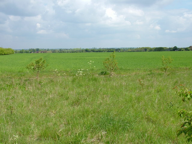
Image: © John Goldsmith Taken: 15 May 2010
When Westley airfield was created in the late 1930s this footpath had to be repositioned off the field. The path now seems to have split into two parallel versions, either side of this strip of planted trees. The airfield stretched over the first horizon down to the railway bridge visible to the left, where the Newmarket Road (formerly the A45) passes over the railway at a very acute angle. Most of the airfield is now built on, while other parts have reverted to agriculture.
Images are licensed for reuse under creativecommons.org/licenses/by-sa/2.0
Image Location
Latitude
52.254218
Longitude
0.677581