Ex airfield and edge of housing estate
Introduction
The photograph on this page of Ex airfield and edge of housing estate by John Goldsmith as part of the Geograph project.
The Geograph project started in 2005 with the aim of publishing, organising and preserving representative images for every square kilometre of Great Britain, Ireland and the Isle of Man.

There are currently over 7.5m images from over 14,400 individuals and you can help contribute to the project by visiting https://www.geograph.org.uk
Ex airfield and edge of housing estate
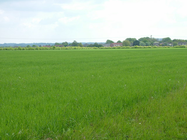
Image: © John Goldsmith Taken: 15 May 2010
It is clear why this very flat field was chosen for the pre-war Westley airfield. In the distance we see the backs of the houses in Oliver Road, built on the eastern part of the airfield site.
Images are licensed for reuse under creativecommons.org/licenses/by-sa/2.0
Image Location
Latitude
52.250699
Longitude
0.678101