Wall alongside Upland Road, Selly Park
Introduction
The photograph on this page of Wall alongside Upland Road, Selly Park by Phil Champion as part of the Geograph project.
The Geograph project started in 2005 with the aim of publishing, organising and preserving representative images for every square kilometre of Great Britain, Ireland and the Isle of Man.

There are currently over 7.5m images from over 14,400 individuals and you can help contribute to the project by visiting https://www.geograph.org.uk
Wall alongside Upland Road, Selly Park
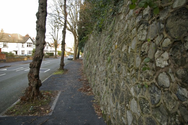
Image: © Phil Champion Taken: 14 Jan 2007
A large Victorian property lies on the other side of the wall. The wall itself is of fairly rough construction, apparently including large pieces of slag from metal smelting. I assume this was plentiful and cheap in the Midlands at the time the wall was built, and a good way of getting rid of waste materials.
Images are licensed for reuse under creativecommons.org/licenses/by-sa/2.0
Image Location
Latitude
52.44404
Longitude
-1.921982