A corner of the Westley estate
Introduction
The photograph on this page of A corner of the Westley estate by John Goldsmith as part of the Geograph project.
The Geograph project started in 2005 with the aim of publishing, organising and preserving representative images for every square kilometre of Great Britain, Ireland and the Isle of Man.

There are currently over 7.5m images from over 14,400 individuals and you can help contribute to the project by visiting https://www.geograph.org.uk
A corner of the Westley estate
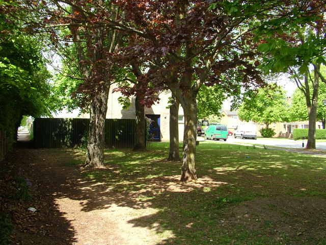
Image: © John Goldsmith Taken: 15 May 2010
Named after the nearest village and the airfield that occupied this site, the Westley estate was built starting in the 1950s. The footpath on the left goes to Westley, and was repositioned off the airfield in the 1930s.
Images are licensed for reuse under creativecommons.org/licenses/by-sa/2.0
Image Location
Latitude
52.248105
Longitude
0.681461