Mini-roundabout on Boundary Lane, Newham
Introduction
The photograph on this page of Mini-roundabout on Boundary Lane, Newham by Stephen Craven as part of the Geograph project.
The Geograph project started in 2005 with the aim of publishing, organising and preserving representative images for every square kilometre of Great Britain, Ireland and the Isle of Man.

There are currently over 7.5m images from over 14,400 individuals and you can help contribute to the project by visiting https://www.geograph.org.uk
Mini-roundabout on Boundary Lane, Newham
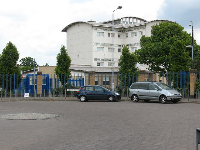
Image: © Stephen Craven Taken: 15 May 2010
The southern end of Boundary Lane is a dead-end as far as most vehicles are concerned: it continues southwards as a cycle path only and the junction with Northfield Close (to the left of this photo) is for buses and cycles only. The building in the background is Brampton Manor School.
Images are licensed for reuse under creativecommons.org/licenses/by-sa/2.0
Image Location


Leaflet Map data © OpenStreetMap
Latitude
51.522046
Longitude
0.040033