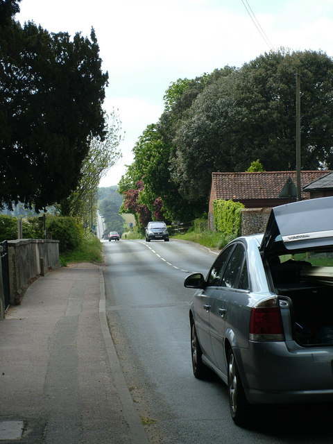
Long straight road to Horringer
Introduction
The photograph on this page of Long straight road to Horringer by John Goldsmith as part of the Geograph project.
The Geograph project started in 2005 with the aim of publishing, organising and preserving representative images for every square kilometre of Great Britain, Ireland and the Isle of Man.
There are currently over 7.5m images from over 14,400 individuals and you can help contribute to the project by visiting https://www.geograph.org.uk

Image: © John Goldsmith Taken: 15 May 2010
This road runs straight from Westley, having done a quick wiggle round the churchyard, all the way to the fringes of Horringer. Out of sight over this first hilltop a staggered crossroads has been inserted to stop traffic at the Bury - Barrow road. This road then plunges steeply downhill to a hump-back bridge over the river Linnet, before climbing back up to reappear in the photo. Incidentally driving with the hatch open can be dangerous as exhaust fumes are drawn into the low pressure area.

