Houses off Northfield Close
Introduction
The photograph on this page of Houses off Northfield Close by Stephen Craven as part of the Geograph project.
The Geograph project started in 2005 with the aim of publishing, organising and preserving representative images for every square kilometre of Great Britain, Ireland and the Isle of Man.

There are currently over 7.5m images from over 14,400 individuals and you can help contribute to the project by visiting https://www.geograph.org.uk
Houses off Northfield Close
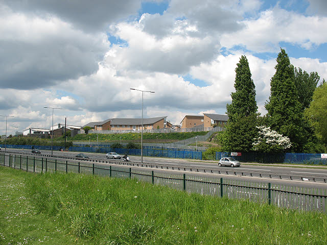
Image: © Stephen Craven Taken: 15 May 2010
Northfield Close is the nearest named road on the map, and as it serves mainly hospital facilities, these may be NHS staff housing. Viewed from the opposite side of the A13.
Images are licensed for reuse under creativecommons.org/licenses/by-sa/2.0
Image Location


Leaflet Map data © OpenStreetMap
Latitude
51.520079
Longitude
0.039368