Field near Hollis Head
Introduction
The photograph on this page of Field near Hollis Head by Derek Harper as part of the Geograph project.
The Geograph project started in 2005 with the aim of publishing, organising and preserving representative images for every square kilometre of Great Britain, Ireland and the Isle of Man.

There are currently over 7.5m images from over 14,400 individuals and you can help contribute to the project by visiting https://www.geograph.org.uk
Field near Hollis Head
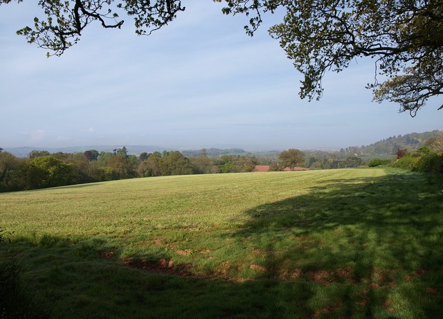
Image: © Derek Harper Taken: 13 May 2010
Looking over Image Behind the field boundary on the right is the lane past Hollis Head to Budlake. The large field slopes down to the valley shown in Image
Images are licensed for reuse under creativecommons.org/licenses/by-sa/2.0
Image Location
Latitude
50.791639
Longitude
-3.434316