Field near Churchill Oak
Introduction
The photograph on this page of Field near Churchill Oak by Derek Harper as part of the Geograph project.
The Geograph project started in 2005 with the aim of publishing, organising and preserving representative images for every square kilometre of Great Britain, Ireland and the Isle of Man.

There are currently over 7.5m images from over 14,400 individuals and you can help contribute to the project by visiting https://www.geograph.org.uk
Field near Churchill Oak
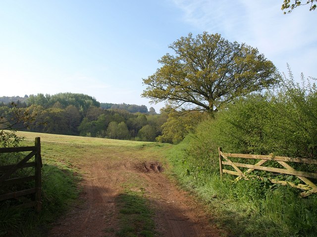
Image: © Derek Harper Taken: 13 May 2010
On the far side of the valley to which this field descends is Sprydon Plantation, part of Ashclyst Forest. Oaks newly in leaf along the field boundary.
Images are licensed for reuse under creativecommons.org/licenses/by-sa/2.0
Image Location
Latitude
50.791941
Longitude
-3.43163