Barn near Barland's Farm
Introduction
The photograph on this page of Barn near Barland's Farm by Robin Webster as part of the Geograph project.
The Geograph project started in 2005 with the aim of publishing, organising and preserving representative images for every square kilometre of Great Britain, Ireland and the Isle of Man.

There are currently over 7.5m images from over 14,400 individuals and you can help contribute to the project by visiting https://www.geograph.org.uk
Barn near Barland's Farm
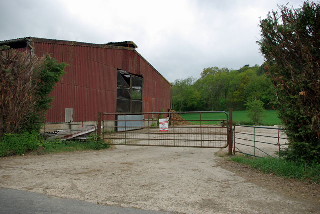
Image: © Robin Webster Taken: 16 May 2010
One of the less twee buildings in the rather twee parish of Warninglid. The sign on the gate warns that this is a Farm Watch area.
Images are licensed for reuse under creativecommons.org/licenses/by-sa/2.0
Image Location


Leaflet Map data © OpenStreetMap
Latitude
51.016082
Longitude
-0.223345