Approach path to the Church of St Bridget, St Brides
Introduction
The photograph on this page of Approach path to the Church of St Bridget, St Brides by Jaggery as part of the Geograph project.
The Geograph project started in 2005 with the aim of publishing, organising and preserving representative images for every square kilometre of Great Britain, Ireland and the Isle of Man.

There are currently over 7.5m images from over 14,400 individuals and you can help contribute to the project by visiting https://www.geograph.org.uk
Approach path to the Church of St Bridget, St Brides
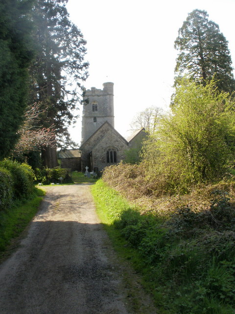
Image: © Jaggery Taken: 22 Apr 2010
The church, after which the village is named, is in a secluded location at the north end of the village. It is dedicated to St Bridget of Kildare, Ireland who lived in the 5th and early 6th century. Variant spellings of her name include Brigid and Bride.
Images are licensed for reuse under creativecommons.org/licenses/by-sa/2.0
Image Location
Latitude
51.534247
Longitude
-3.022126