Bench Mark, Ballykelly
Introduction
The photograph on this page of Bench Mark, Ballykelly by Rossographer as part of the Geograph project.
The Geograph project started in 2005 with the aim of publishing, organising and preserving representative images for every square kilometre of Great Britain, Ireland and the Isle of Man.

There are currently over 7.5m images from over 14,400 individuals and you can help contribute to the project by visiting https://www.geograph.org.uk
Bench Mark, Ballykelly
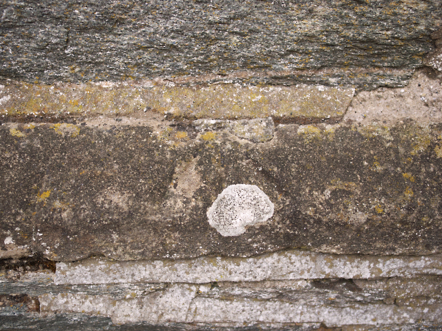
Image: © Rossographer Taken: 12 May 2010
Cut bench mark located on Tamlaght Finlagan Parish Church, Ballykelly Image This mark dates from the 1st geodetic levelling of Ireland which took place in 1839-43. The mark is just to the left of the main entrance. The mark was in a line from Derry/Londonderry to Coleraine via Ballykelly and (Newtown) Limavady; this is actually a Trigonometrical Station in that line. The original remarks describe it as "Ballykelly Church. Mark on cut stone at West corner of Belfry; 1.6 ft. above sill of South door. The mark was originally levelled to 76.579 feet above sea level. Today the mark has been levelled to 20.64 metres above MSL. See also http://www.geograph.org.uk/search.php?i=11037856 for many other examples I have found.
Images are licensed for reuse under creativecommons.org/licenses/by-sa/2.0
Image Location
Latitude
55.045685
Longitude
-7.01143