South sea lane, Humberston
Introduction
The photograph on this page of South sea lane, Humberston by Sue as part of the Geograph project.
The Geograph project started in 2005 with the aim of publishing, organising and preserving representative images for every square kilometre of Great Britain, Ireland and the Isle of Man.

There are currently over 7.5m images from over 14,400 individuals and you can help contribute to the project by visiting https://www.geograph.org.uk
South sea lane, Humberston
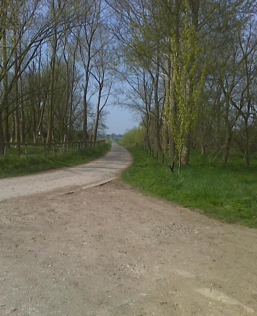
Image: © Sue Taken: 23 Apr 2010
This South sea lane just out side of Humberston, It's more near Thorpe Park. This photo South Sea Lane from Thorpe Park End, At the other end of South Sea lane is the road A1031 which is in Humberston, The A1031 also goes to Tetney
Images are licensed for reuse under creativecommons.org/licenses/by-sa/2.0
Image Location
Latitude
53.528468
Longitude
0.002872