Wansbeck river, retaining wall
Introduction
The photograph on this page of Wansbeck river, retaining wall by Willie Duffin as part of the Geograph project.
The Geograph project started in 2005 with the aim of publishing, organising and preserving representative images for every square kilometre of Great Britain, Ireland and the Isle of Man.

There are currently over 7.5m images from over 14,400 individuals and you can help contribute to the project by visiting https://www.geograph.org.uk
Wansbeck river, retaining wall
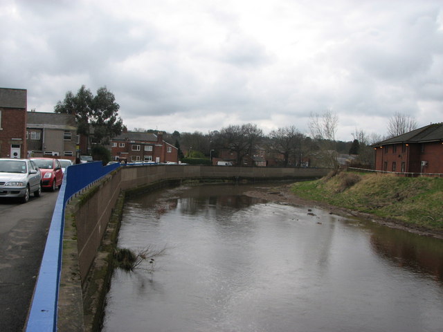
Image: © Willie Duffin Taken: 4 Apr 2010
Hard to imagine but the river had risen above the top of the wall during the recent floods. The residential home on the opposite bank had to be evacuated.
Images are licensed for reuse under creativecommons.org/licenses/by-sa/2.0
Image Location
Latitude
55.167985
Longitude
-1.680832