Marshlink Line
Introduction
The photograph on this page of Marshlink Line by Oast House Archive as part of the Geograph project.
The Geograph project started in 2005 with the aim of publishing, organising and preserving representative images for every square kilometre of Great Britain, Ireland and the Isle of Man.

There are currently over 7.5m images from over 14,400 individuals and you can help contribute to the project by visiting https://www.geograph.org.uk
Marshlink Line
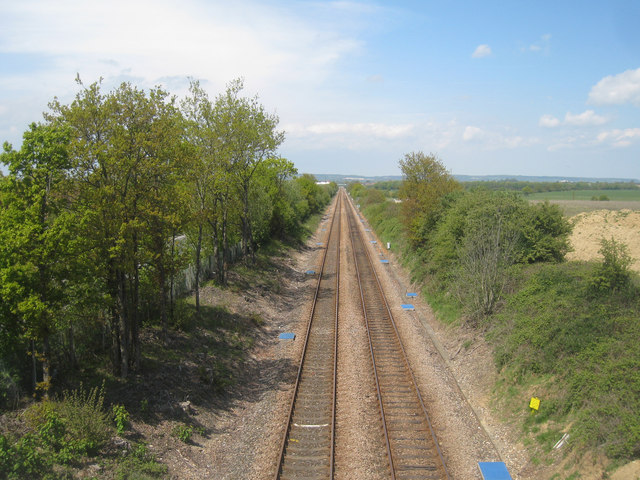
Image: © Oast House Archive Taken: 14 May 2010
Connecting Ashford and Rye. Looking Ashford direction from footpath over bridge 1820a.
Images are licensed for reuse under creativecommons.org/licenses/by-sa/2.0
Image Location
Latitude
51.114244
Longitude
0.88034